A road trip along the Atlantic Highway (A39) through north Devon and north Cornwall, with the best stops and short detours to the coast.
The stretch of the A39 that runs through north Devon and north Cornwall is known as the Atlantic Highway. It runs a few miles inland from the coast, and almost every turning towards the sea leads somewhere worth seeing. Lower Pennycrocker Farm sits about two miles off the A39 near Boscastle, roughly halfway along the Cornish section, which makes it a handy base for a road trip.
Before you set off
- The A39 itself is a main road, but the turnings to the coast are often narrow lanes with passing places. Read driving Cornish lanes.
- Summer Saturdays are busy with changeover traffic.
- Fuel up in the larger towns; see shops, fuel and supplies near Boscastle.
- Motorhome drivers should read our motorhome route through north Cornwall.
North Devon: Clovelly and Hartland
Start in north Devon with Clovelly, a steep, car-free fishing village, and Hartland, with its wild cliffs. Both are about 45 to 50 minutes from the farm. See the Clovelly and Hartland day trip.
Bude and the border coast
Crossing into Cornwall, Bude has big beaches, the canal and the tidal sea pool. Just north are Sandymouth and Northcott Mouth. See the Bude day trip and camping near Bude.
Widemouth Bay and Crackington Haven
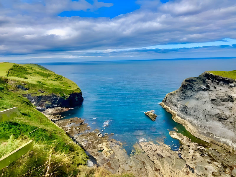
South of Bude, a short detour brings you to Widemouth Bay, a popular surf beach, and further on to Crackington Haven, a dramatic cove about 5 miles from the farm. See the Widemouth Bay guide and Crackington Haven.
Boscastle
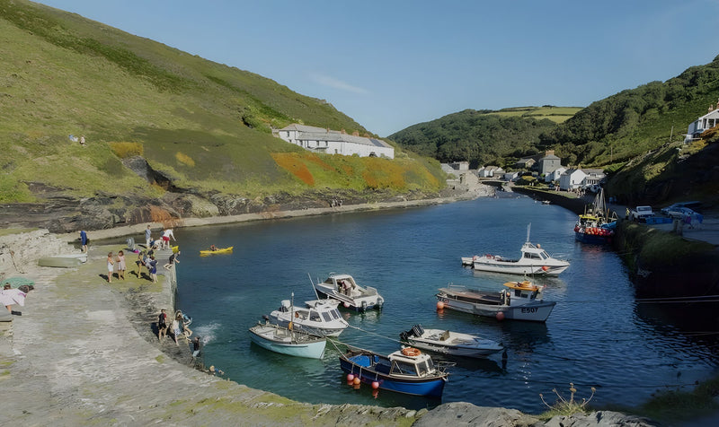
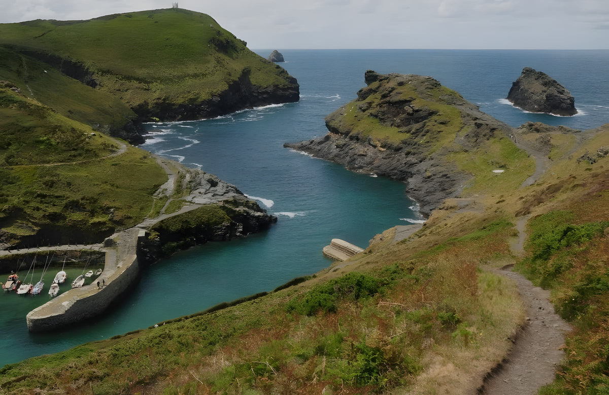
Turn off for Boscastle, about two miles from the A39, for the harbour, the coast path and the Museum of Witchcraft and Magic. This is where we are based; see camping in Boscastle.
Tintagel and Camelford
Tintagel, about 7 miles from the farm, is home to the cliff-top castle linked with King Arthur. Inland, Camelford is the gateway to Bodmin Moor. See Tintagel and camping near Camelford.
Delabole and Port Isaac
Near Delabole you will see wind turbines on the skyline; the area was home to the UK's first commercial wind farm. A turning towards the coast leads to Port Isaac, about 15 miles from the farm. See the Port Isaac day trip.
Wadebridge and the Camel estuary
The A39 reaches Wadebridge, a market town on the River Camel and the start of the Camel Trail to Padstow. See the Wadebridge day trip.
How long to allow
You could drive the Cornish stretch in a couple of hours, but that misses the point. Allow three to five days with a base in the middle, and take the coastal detours one at a time. Our 7-day north Cornwall itinerary shows how.
Frequently asked questions
What is the Atlantic Highway?
It is the name given to the A39 as it runs through north Devon and north Cornwall, a few miles inland from the Atlantic coast.
Is the A39 suitable for caravans and motorhomes?
The A39 is a main road. The lanes off it can be narrow, so take care; see motorhome stopover off the A39.
Where is a good base on the Atlantic Highway?
Boscastle is roughly midway along the Cornish section, so you can reach Bude and Wadebridge easily from there.
Stay near Boscastle
Lower Pennycrocker Farm is a quiet, family-run campsite at St Juliot, about two miles from Boscastle (PL35 0BY). We welcome tents, touring caravans, motorhomes and campervans from 1 April to 31 October. Adults are £10 a night, children aged 5 and over £5, electric hook-up £7 and dogs £2 each (maximum two). Showers are free and you park beside your pitch. Check availability and book direct, or see pitches and prices.